|
|
Line 1: |
Line 1: |
| [[File:riigabiomes.jpg|800px|thumb|A biome map of Riiga.]]
| |
|
| |
| An article by Virgil on [[Benevis Mapping]]. | | An article by Virgil on [[Benevis Mapping]]. |
|
| |
|
Revision as of 09:33, 6 September 2022
An article by Virgil on Benevis Mapping.
The official historical slideshow map of Riiga.
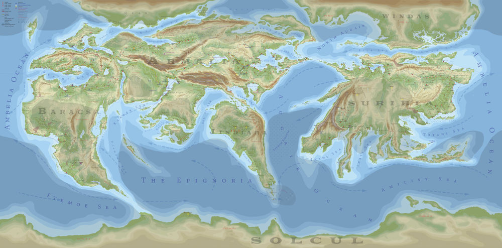
A geopolitical map of Riiga coloured by altitude. The key is in the upper left corner.
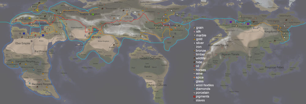
A map of major trade routes in among the connected Riigan cultures. Red: The Archroad. Orange: Archroad connections. Aqua: The main sea trading routes. Blue: The Diamond Route. Goods shown are only of major sources.
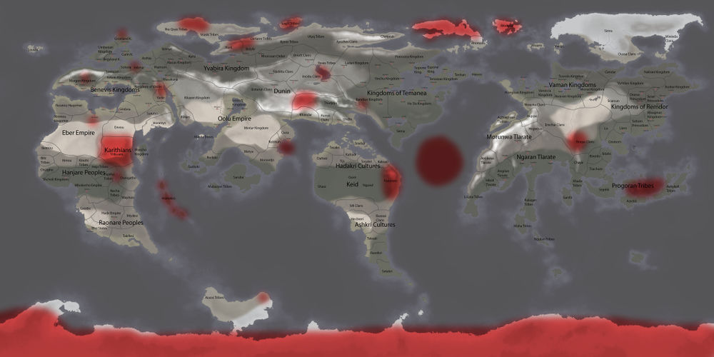
A map of current and historical sites of heavy
monster or monster-race activity.
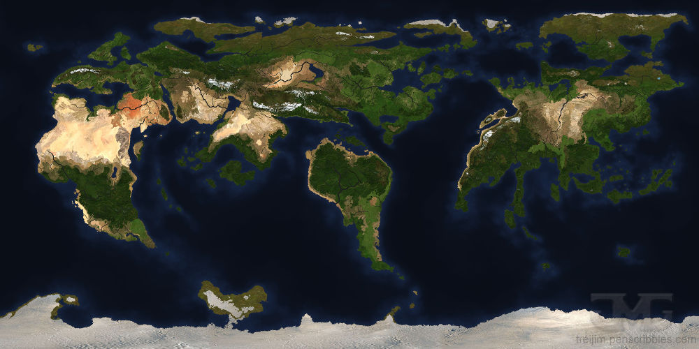
A textured map of Riiga designed to look like satellite imagery.
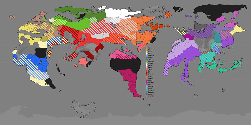
An ethnic map of Riiga. See
Ethnicity for more information.