An article by Virgil on Benevis Mapping.
The official historical slideshow map of Riiga.
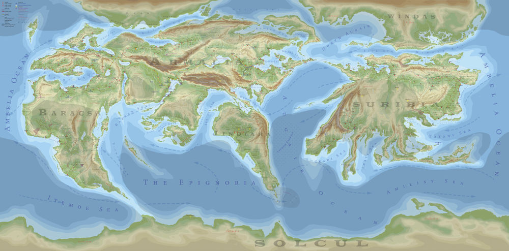
A geopolitical map of Riiga coloured by altitude. The key is in the upper left corner. This map is not to scale, but does represent the shapes of the landmasses most accurately; other maps on this page are outdated in this regard.
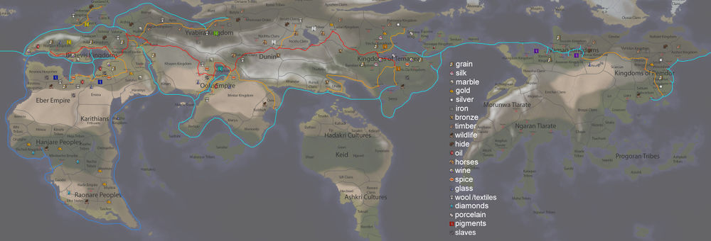
A map of major trade routes in among the connected Riigan cultures. Red: The Archroad. Orange: Archroad connections. Aqua: The main sea trading routes. Blue: The Diamond Route. Goods shown are only of major sources.
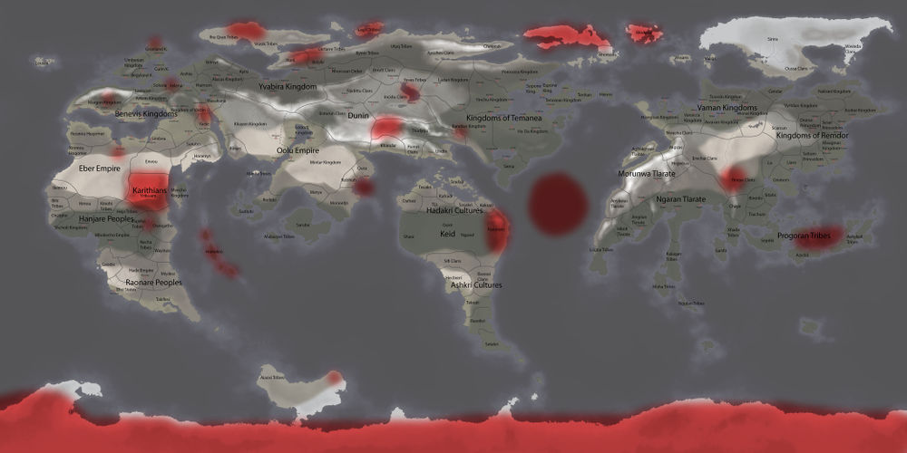
A map of current and historical sites of heavy
monster or monster-race activity.
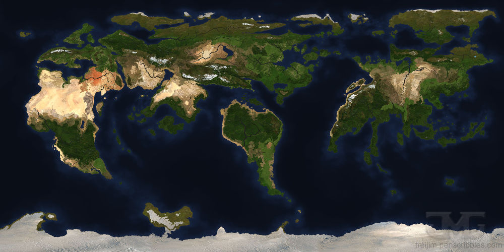
A textured map of Riiga designed to look like satellite imagery.
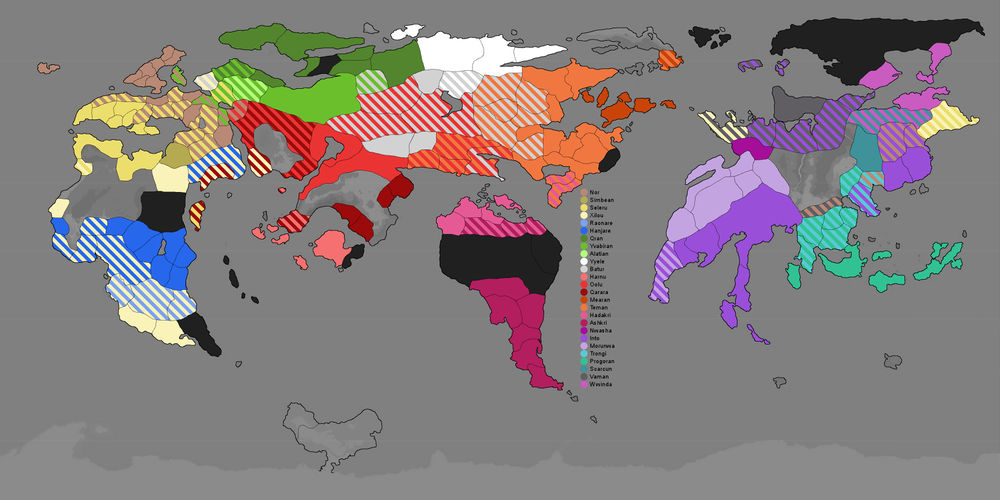
An ethnic map of Riiga. See
Ethnicity for more information.


